SUNY Oneonta Accessibility Upgrades
Oneonta, New York
The overall goal was to renovate high traffic and provide accessibility upgrades across the SUNY Oneonta campus.
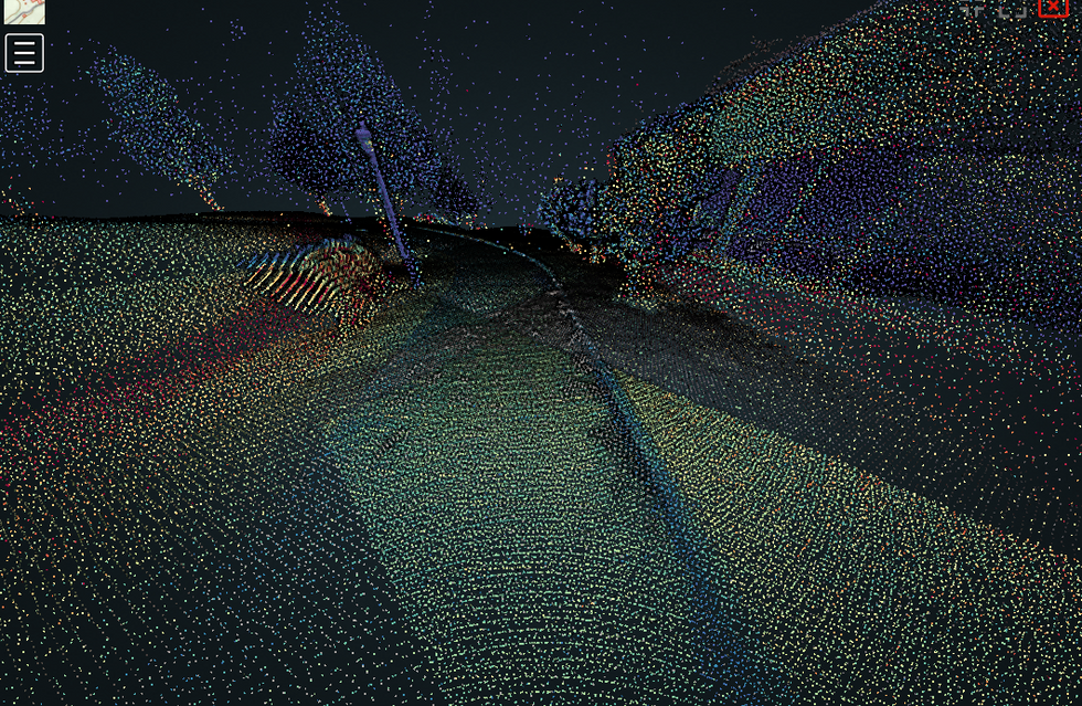
During the kick-off meeting, SUNY Oneonta indicated the need to have an updated campus survey. MJ was responsible for topographic survey and mapping, which was completed through mobile mapping LiDAR data collection and processing. The campus survey was developed to support the design of the infrastructure improvements. MJ also documented the campus utilizing a fixed wing UAV. MJ’s UAV technicians utilized a Wingtra fixed wing UAV equipped with a 42MP photo sensor to acquire imagery of the entire campus. MJ was able to obtain 360° imagery of all campus roadways.
For this project, MJ utilized Trident, a web-based software-as-a-service (SaaS) developed by MJ which offers users the ability to remotely explore a sites digital twin via immersive existing conditions data MJ captures with 3D laser scans, aerial and 360° panoramic photos. Not satisfied with current industry offerings, MJ’s geospatial group developed Trident with the goal of providing digital documentation specifically tailored to engineers, urban planners, and GIS analysts. The data collected is being utilized as part of ongoing ADA upgrades and future master planning efforts.


